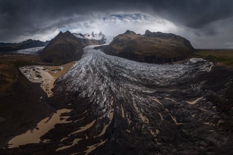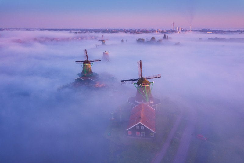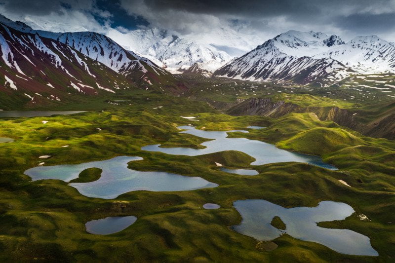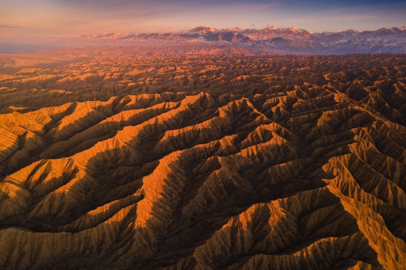
















Aerial photography is a different game than photographing from the ground. It’s much more difficult and slower to make a composition and you have to think of all kinds of rules and limitations to get your shot. However, drones opened up many new angles and possibilities when it comes to photography.
I love new technology and I love drones. I mainly use the small drones (Mavic 1 Pro, Mavic 2 Pro) because they’re easy to bring with me in my backpack. I have been photographing with drones for a while now and I want to share some tips on how to take a good photo with your drone.
1. Higher is not always better.
When you’re flying your drone really high the landscape you’re photographing is often messy with a lot of stuff in the frame. Getting closer and lower to certain objects is often better for your composition. Also, experiment with different heights. You’ll see the distance relation between objects getting larger or smaller. With a drone, you have the flexibility to greatly change this, while from the ground you can only use your own height when you’re holding a regular camera.
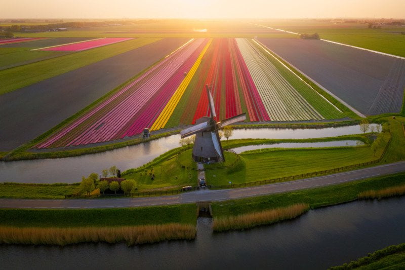
Altitude of around 15 meter to still get a nice perspective on the windmill along with the lines of the tulip fields. Shot with Mavic 2
2. Composition: Look for objects and place them in the 3rd grid of your frame.
Getting a nice composition from the sky is not that easy but with practice its great fun to look for interesting objects and lines. Use them to lead the viewer into the image, just like shooting with a normal camera. Extra tip: In the mountains, rivers are amazing to use as leading lines from the sky.
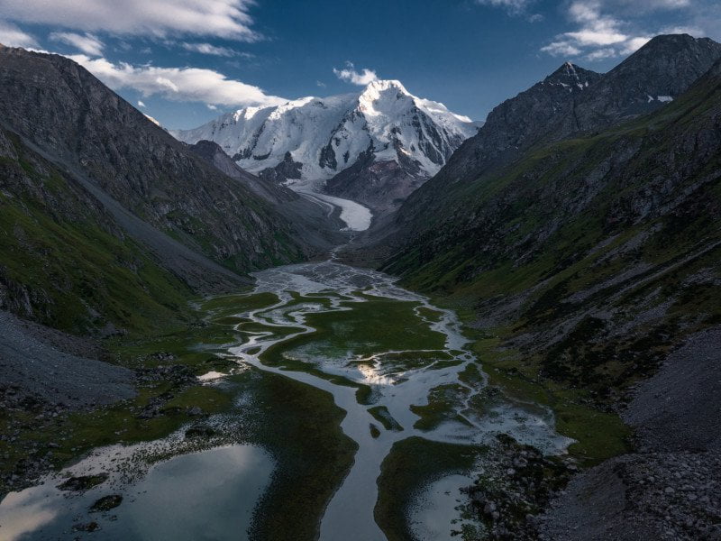
Using rivers leading up to mountains works very well from the sky. Shot with Mavic 1
3. Google Earth is your friend.
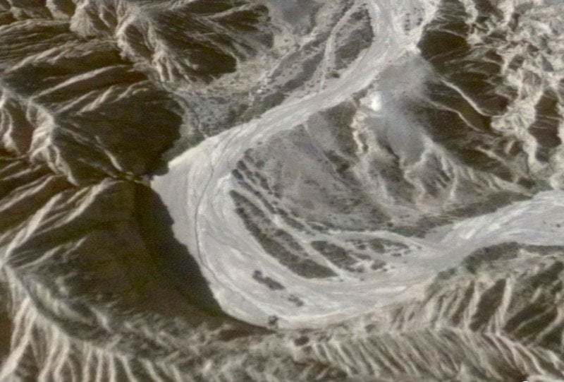
It’s scary how detailed google earth has become. I can scout areas on Google Earth for hours to find shot and I am not talking about only the top down shot. Try the 3D view. It’s scary how detailed it is. You can basically see your own house and car, in 3D. You can angle your shots exactly how you want them to be, see the altitude information and then reproduce them with your drone.
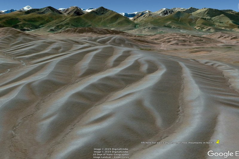
Simple of example of a scouted 3d location on Google Earth